We have made it through another month, and the wild roller coaster ride of 2024 weather in Omaha continued into October. Nearly every month so far has made a top 5 list in some category: January brought the 4th longest stretch of below-zero hours in a row; February saw its warmest temp in recorded history; April the tornadoes; May the 2nd wettest on record; and September had its driest on record. October can now be added to this list too in a couple of fields, this is how the month shook out in terms of Omaha weather.

First of all, it was quite warm. In a typical October, our high temperatures average out to 65.5°, our lows to 43.2°, and the average of the averages is 54.4°. In 2024, our average high temperature was 74.2° (+8.7°), and our average low was 45.5° (+2.3°), which averages to 59.9° (+5.5°), which is very warm. This makes October 2024 the 12th warmest October on record for Omaha. The warmest October was in 1963 with an average temperature of 64.4°.
Two other factoids about the warmth this October. We had 11 days with a high temperature at or above 80° in Omaha, the 4th most in October! On October 5th, Omaha hit 96°, tying the record for the all-time warmest October day. Some locations in western Iowa did see their warmest October day on record, you can see that list here.

Another facet of October 2024 was how DRY it was. Except for the final few days, we went nearly a month without measurable rainfall in Omaha. Then with two rain events at the end of the month, including the one the day before Halloween, rainfall returned to Omaha. It also knocked us out of the running for any records in the dry October department. If we had not seen rain, we would've tied with 1952 for the driest October on record. However, our 0.98" of rain received last month has placed us in 37th place.

Now, what can we experience in November? In a typical November, we transition from the cooler fall weather to a colder, more winter-like feel. Our highs to begin the month are in the 50s with lows in the 30s, by the end of the month highs are in the 40s and lows in the 20s. November is also notable as the first month we reliably get our first snowfall in Omaha, with the 30-year average at 1.7" of snowfall.

In the past 10 years, only 2017 has seen no snow in November, with 2016 and 2021 seeing a trace of snow.

As for what November 2024 could look like, the monthly outlook issued by the Climate Prediction Center shows the potential for a warmer November across most of the eastern US. This does not mean no cold snaps, but overall November should trend on the warmer side.

As for precipitation, November is looking more active with the Climate Prediction Center predicting a swath of higher-than-average precipitation possibilities over the central US. This could be a misnomer of how active November could be, as we could already see numbers close to or above our monthly average (1.45") with the rainfall we are seeing this weekend, and then again next weekend. Therefore, even if it did not rain the rest of the month, we had an above-average November for precipitation. Hopefully, we continue to see more weather that could bring beneficial rain after our two big systems start the month.

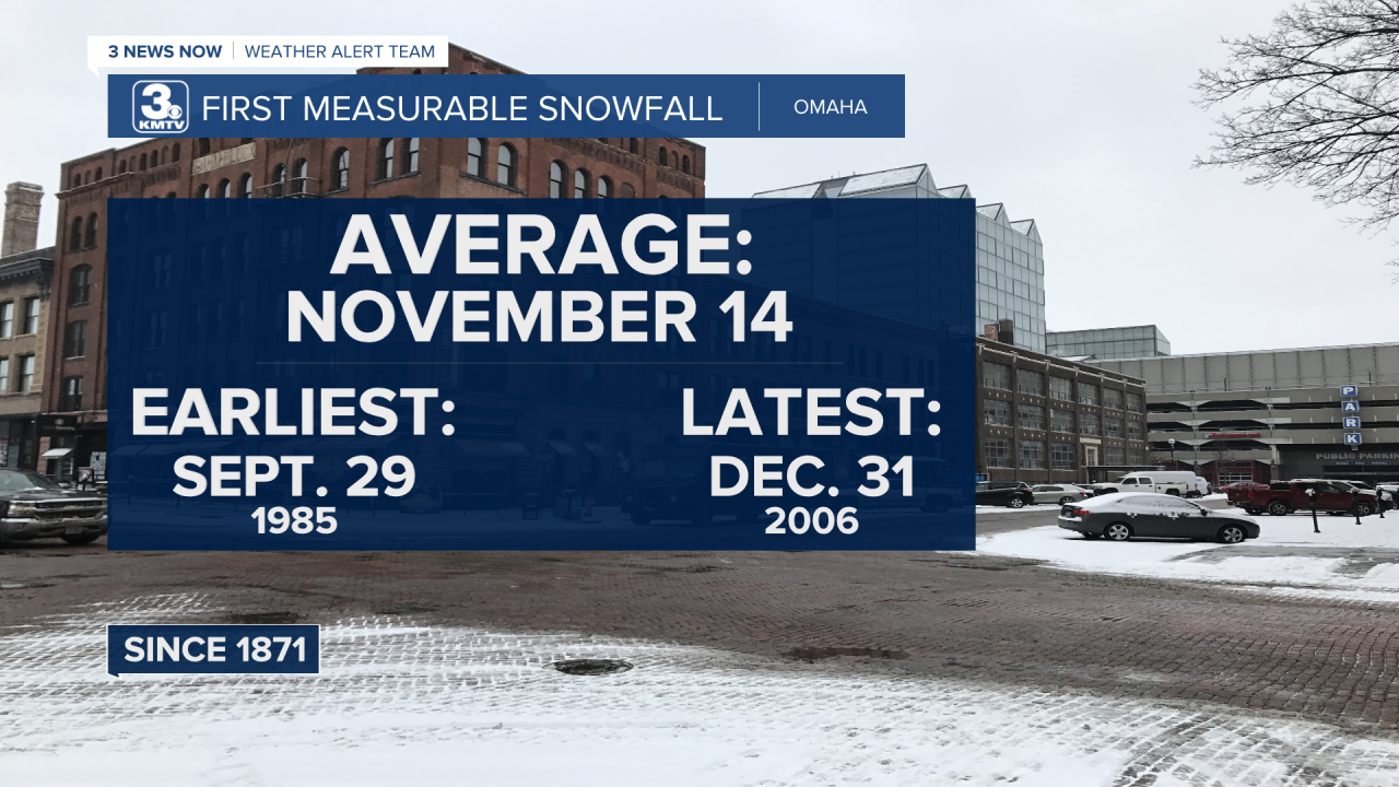
As for snow, could we see it this month? Based on the climatology, it seems very plausible given the above data. On average, our first measurable snow is November 14. This is something we will be watching for over the coming days and weeks. For the daily forecast, keep updated on the weather page.


